Tracking Subsidence to Unlock Coastal Stability
Tracking Subsidence to Unlock Coastal Stability
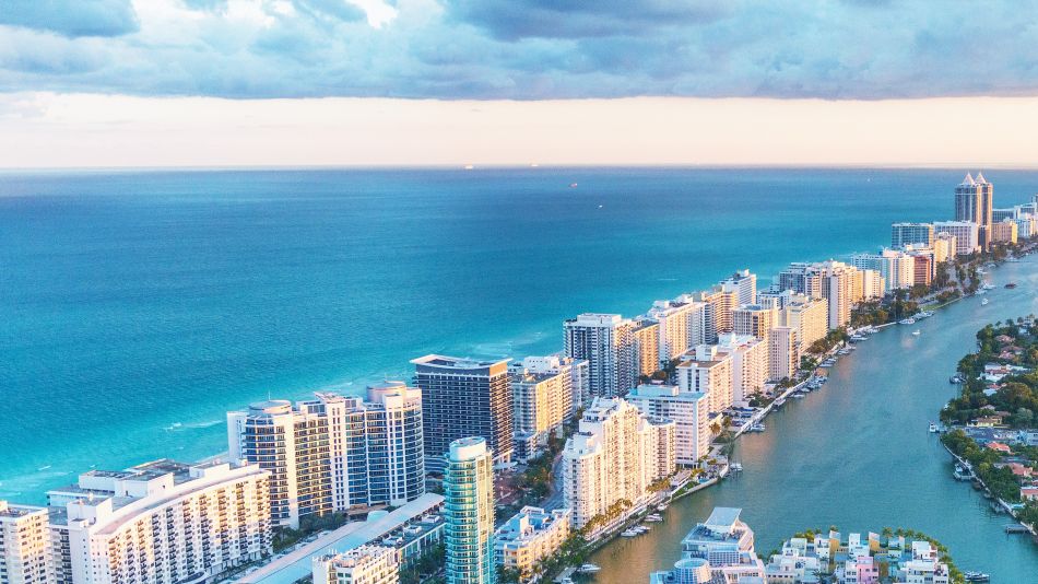
Miami’s barrier islands are sinking and construction may be accelerating the process.
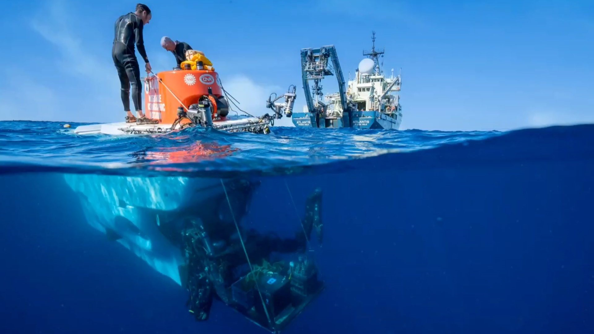
Cutting-edge satellite radar technology, or Interferometric Synthetic Aperture Radar (InSAR), helps researchers track ground movement with millimeter precision. New findings using this technology have revealed a strong link between subsidence and nearby development, exposing hidden risks to infrastructure and emphasizing the need for continuous monitoring in rapidly growing coastal areas.
From 2016 to 2023, the University of Miami led a study on subsidence in the Miami barrier islands, with InSAR support from the University of Houston. The research found widespread sinking of 2 to 8 centimeters, affecting many structures. While global subsidence often results from groundwater withdrawal and resource extraction, on these islands, researchers linked the sinking primarily to nearby construction, especially in sandy limestone areas. The study underscores the need for ongoing monitoring in fast-developing coastal areas.
InSAR detects ground subsidence by comparing satellite radar images taken at different times to detect subtle elevation changes. Satellites emitted radar pulses, recorded reflections, and compared signal phases between images. Interferograms with fringe patterns showed the movement’s magnitude and direction.
“We used a six-centimeter microwave wavelength, achieving millimeter-level accuracy—a fraction of that wavelength. Both the short wavelength and a time series of about 30 images improved precision,” explained Pietro Milillo, assistant professor of Civil and Environmental Engineering at the University of Houston.
Predicting and preventing subsidence
InSAR enables proactive subsidence management by detecting subtle ground movement early, monitoring deformation rates to identify risks, and refining predictive models for future forecasts. This technology also tracks the effectiveness of mitigation measures, safeguarding infrastructure by detecting potential damage and providing crucial data for prediction and prevention.
In addition to measuring coastal subsidence, InSAR can monitor infrastructure like bridges. It detects ground deformation affecting foundations, identifying subsidence and settlement risks. Combined with physical inspections and on-bridge sensors—strain gauges, accelerometers, tiltmeters, and displacement monitors—InSAR enhances structural monitoring. Wireless data transmission and advanced algorithms detected anomalies, triggering automated alerts for critical events. With InSAR, Infrastructure teams can receive weekly or biweekly updates, ensuring timely responses to any issues.
Discover the Benefits of ASME Membership
“How often do you monitor a bridge? Every six months? A year? InSAR provides a system with millimetric accuracy, updated biweekly or weekly, to complement visual inspections and on-bridge monitoring, adding another level of safety,” Milillo explained.
InSAR’s precise subsidence mapping has laid the groundwork for new regulations and monitoring tools. Detailed hazard maps identify high-risk areas, guiding early warning systems and infrastructure protection. Authorities and engineers use InSAR data to inform construction standards to reduce vibration-induced subsidence and improve predictive models. This foundational data set the stage for proactive mitigation strategies, much like past disasters informed safety codes and hazard mapping.
“Our goal is to make engineers, city planners, and scientists aware that this technology can make our infrastructure safer, from the single building to a skyscraper, a bridge, or a nuclear power plant,” Milillo explained.
Chipping away
The Miami barrier islands, including Miami Beach, Key Biscayne, and Virginia Key, shield Biscayne Bay from the Atlantic. Formed by natural forces including ocean currents, waves, and wind, these islands also evolved through human activities such as dredging, land reclamation, and coastal construction.
InSAR tracked subsidence caused by the interaction of sand, limestone, and construction vibrations. Heavy machinery, like pile drivers, compacted sand into voids or weaknesses at the sand-limestone interface, increasing settling. This process destabilized existing infrastructure and coastal environments.
Soluble Key Largo Limestone makes these barrier islands prone to karst features. Groundwater dissolved the limestone, forming voids, fractures, and sinkholes that disrupted groundwater flow and foundation stability. InSAR provides precise measurements of subsidence, revealing how limestone dissolution drove sinking and complicated development and coastal management.
Infographic: Seas Continue Their Rise
Relative sea level, influenced by both global sea level rise and local land subsidence, amplifies flood risks in coastal regions. InSAR’s detailed subsidence maps played a key role in calculating relative sea levels, monitoring mitigation efforts, and identifying vulnerable areas.
Subsidence extends beyond Florida. In California’s Central Valley, heavy groundwater pumping for agriculture caused significant subsidence, while oil and gas extraction worsened subsidence in Texas. Louisiana’s coast sank due to sediment compaction and resource extraction. Globally, groundwater depletion caused subsidence in Mexico City and Jakarta, where rapid urbanization worsened the issue. Coastal regions, including Venice and parts of Southeast Asia, faced similar challenges from multiple factors.
InSAR’s high-precision subsidence monitoring provides critical data for understanding and managing coastal stability, particularly on the Miami Barrier Islands. By detecting subtle ground movements, InSAR helps identify risks from construction, groundwater depletion, and natural geological processes. Its applications extend beyond Miami, aiding global efforts to address subsidence challenges in rapidly developing and environmentally sensitive regions.
As urbanization and climate change intensify these threats, InSAR’s role in infrastructure safety, sea level monitoring, and disaster prevention grows increasingly vital. Continued research and integration with other monitoring systems will enhance resilience, ensuring safer coastal development and improved hazard mitigation strategies worldwide.
Nicole Imeson is an engineer and writer in Calgary, Alta.
Related Content